2598 N. Mt. Juliet Road Suite 400
Mt. Juliet, TN 37122
615-351-7143
PROCESS
Mapmaker is a customer focused company dedicated to delivering first class, innovative photogrammetric and mapping services at affordable prices.

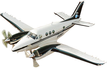
Aerial Imagery/Photography
Aerial imagery/photography is the basis of our activity here at Mapmaker. All of our final produced products require the use of aerial imaging. It is a highly accurate and highly specialized field that we excel in. We proudly offer the finest, highest precision aerial photography available.
Mapmaker follows a rigid set of operating procedures to ensure the highest quality product for our customers, including accuracy, uniformity, completeness and timeliness. You can depend on Mapmaker to produce tax parcel overlays, high quality orthophotos with topographic overlay (orthotopo) plots, orthophotos with topography, and soft/hard copy maps.
Our work is completely compatible with all types of digital platforms including AutoCAD and MicroStation.
We are committed to build on our reputation for quality and service while continuing to strive toward attaining higher standards and responsiveness in every project regardless of size. This is reflected in our significant repeat business and client satisfaction.
Our mission is to provide our clients with the best photogrammetric service through excellence in our work along with innovative solutions.
Copyright 2014, Mapmaker, LLC
Photogrammetric Services
Civil Services
Environment
Surveys
Aerial Photo Acquisition
Planimetric/Topographic Data
Digital Orthophotography
LiDAR