
2598 N. Mt. Juliet Road Suite 400
Mt. Juliet, TN 37122
615-351-7143
PROJECTS
Project info: Cowan Street Industrial Area—Nashville, TN
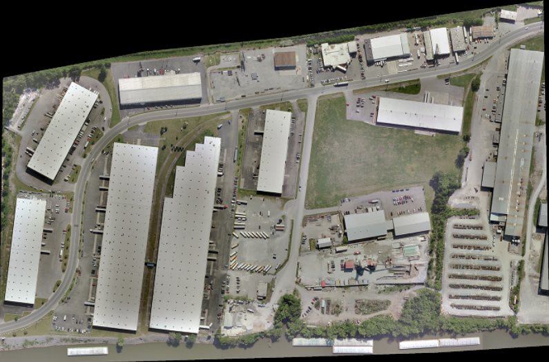
This project was to provide digital mapping at 1”=50' with 1' contours. The accuracy requirements for the contours was 0.25 RMSE. The project area was flooded during the 2010 Nashville flood and this project was to provide a base map for the design of an area wide protection system against future flooding. The digital imagery was taken using a DMC II Aerial Sensor at 5cm GSD.
A color digital orthophotos was provided at 0.5 GSD along with the digital topographic mapping.
Project info: General Motors Corvette Plant—Bowling Green, KY
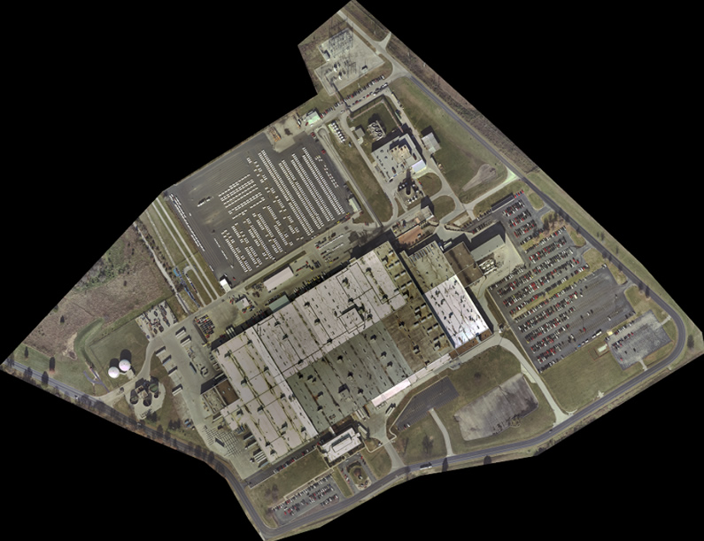
Digital mapping at 1”=50 with 1' contours were required for this project. A DMC II Aerial Sensor was used to capture imagery at 7cm GSD. Datem Summit Digital Mapping software was used to compile the planimetric detail and to capture DEM/DTM data that was used to generate the contours.
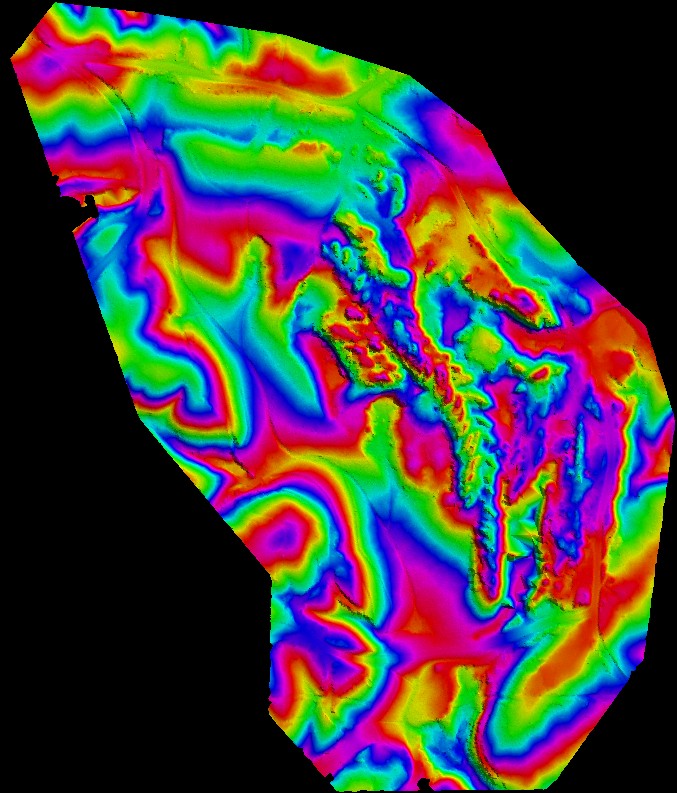
Colorized elevation map utilizing LIDAR derived data at 8-10 ppm. Colorization represents 10' increments in the relief.
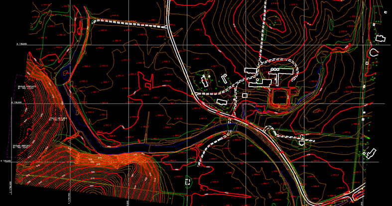
Durham Property 1’=100’ with 2’ contours. Mapping provided to support development for commercial and residential use.
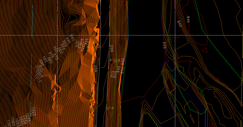
SR 285 1”=50’ with 1’ contours. Project was performed as part of a rock slide mitigation project by Tennessee Department of Transportation. This project was three-quarters of a mile long.
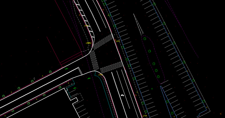
Gulch Greenway Nashville, TN 1”=50' with DTM points. Project was to design a Bikeway utilizing existing Metro-Nashville ROW.
Our mission is to provide our clients with the best photogrammetric service through excellence in our work along with innovative solutions.
Copyright 2014, Mapmaker, LLC
Photogrammetric Services
Civil Services
Environment
Surveys
Aerial Photo Acquisition
Planimetric/Topographic Data
Digital Orthophotography
LiDAR